-
Contact Us:
(603) 953-3164
Contact Us:
(603) 953-3164
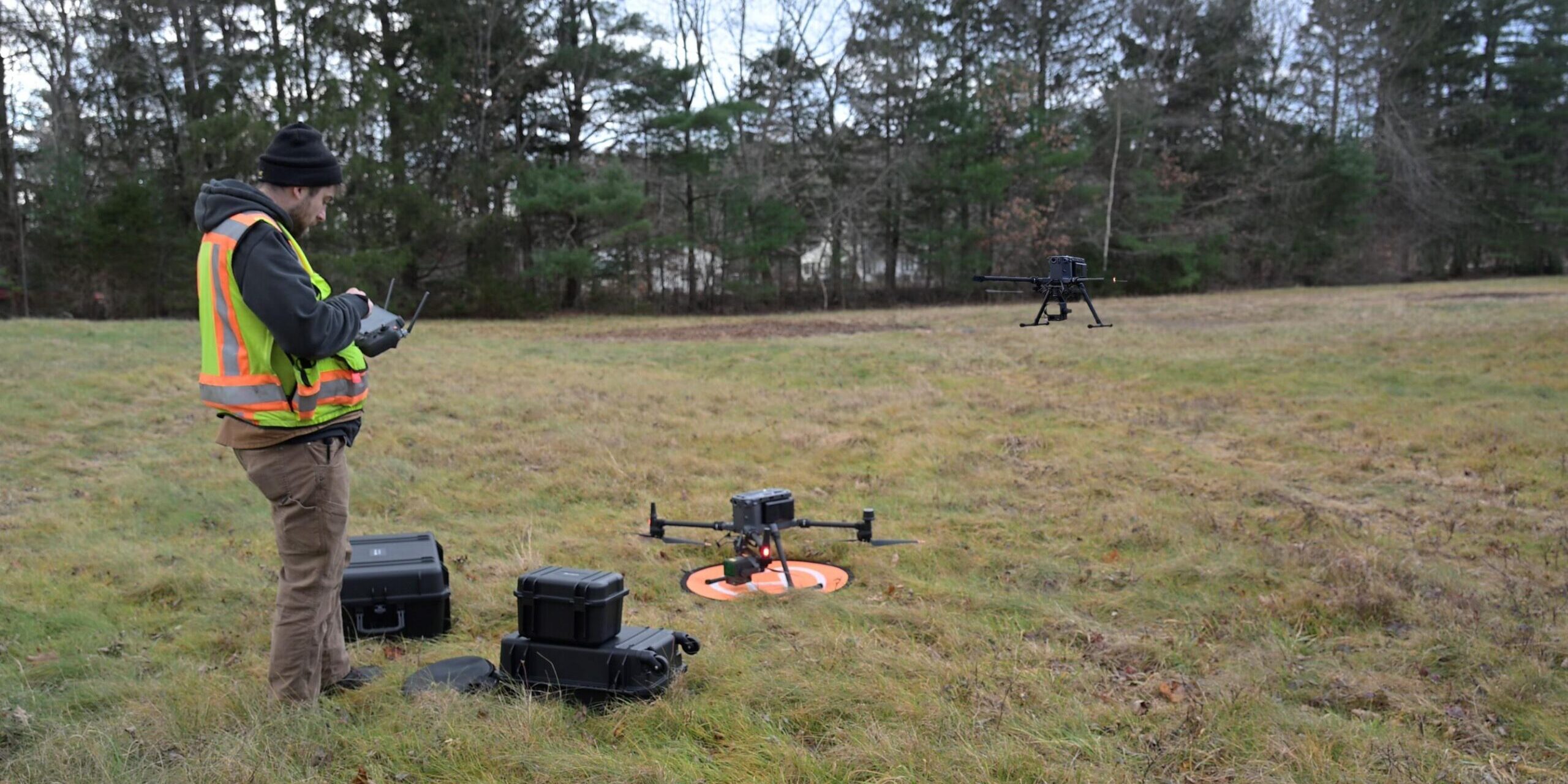
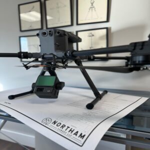
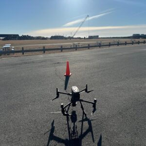
Northam survey has two FAA registered UAV’s (Unmanned aerial vehicle) and four Part107 certified remote pilots. The survey crew will set ground control points around the area of interest as well as ample check shots throughout the targeted mapping area. The team will then use the most appropriate aerial mapping method to complete the job, whether that is by completing a private lidar flight or the use of photogrammetry. Lidar stands for light detection and ranging. Northam has the latest lidar technology capable of sub 0.1’ accuracy.

Aerial mapping is an option when locating topography of large tracts of land or lengthy corridor projects for utilities. It’s a cost-effective way to accurately map these larger projects. Until now, public lidar was the only affordable option when preliminary planning, often causing issues once the project goes forward to design only to find the true surface is different than what was thought. Your project no longer needs to experience these setbacks.


1. A high resolution orthomosaic image of the subject parcel.
2. A detailed topographic map of the subject parcel which could be used for design.
3. Cost savings from traditional topography.
"Northam has provided survey services for many of our projects in New Hampshire and Maine. Plans are clean and concise and communication with their team is always timely and professional. We look forward to continuing our working relationship with Northam for years to come."
- Altus Engineering

At Northam Survey, we strive for greatness. We’re constantly updating our equipment so we can provide our clients in New Hampshire and Maine with the most accurate and detailed information possible. Our commitment to being a modern land surveying company is unparalleled. We make sure that our clients in New Hampshire and Maine are provided with timely deliverables because we understand how important it is to get your project done as quickly as possible.